
Election Maps
West Jordan District Map
This map showcases the four separate districts of our city, each with its own council member representing the unique needs and interests of their community.
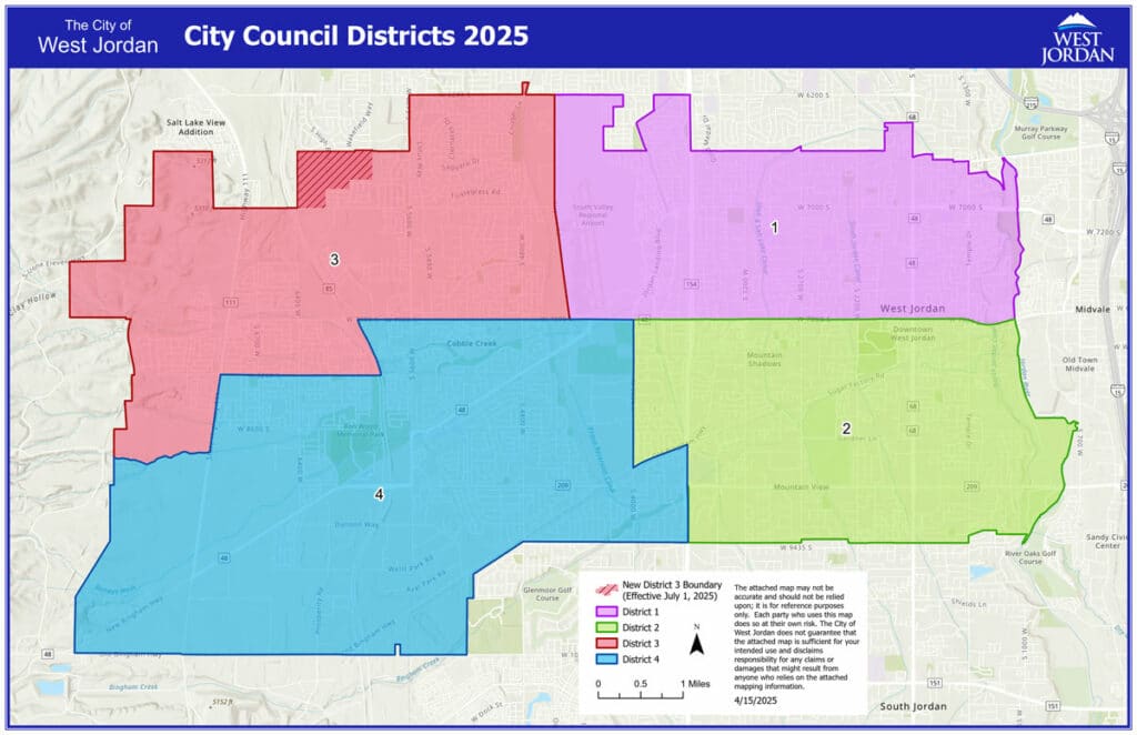
Click here to view a larger image of the district map
The City Council adopted new City Council districts, as required by state law, as part of the mandatory redistricting process triggered by the 2020 Census. While new City Council districts have been adopted, they will not take effect until after the next regularly scheduled election of City Council district representatives.
2025 Voting Precinct Map
This map illustrates the voting precincts in our city, providing a clear and concise view of the boundaries for each precinct. Use this map to locate your designated voting precinct.
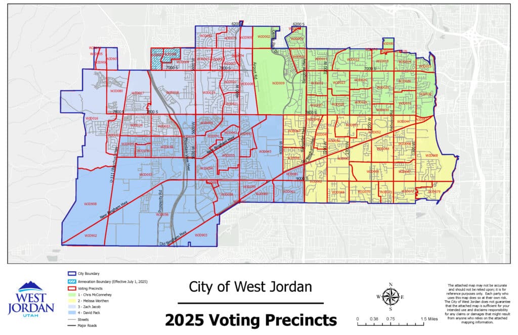
Click here to view a larger image of the 2025 Voting Precinct Map
